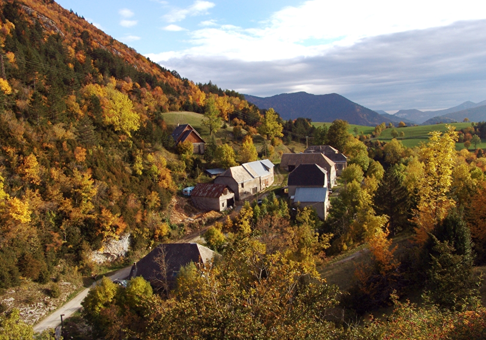
Immerse yourself in the past of this rural mountain valley on a moving hike, discovering the farmhouses of 5 hamlets with singing fountains that bear witness to the ingenuity of farmers in adapting to this ...
1/ From La Condamine (alt. 1010m), turn right onto the track towards La Louée, following the yellow and green markings. Continue along a field to the La Louée crossroads (alt. 1025m).
Coordinates: (44.6728827, 5.702383)
Distance from starting point: 1 m
2/ Go left, now following the white and red GR93 markings. Climb a nice path to Les Serres (alt. 1105m), go straight on, pass a box hedge and skirt a building to reach the second post Les Serres (alt. 1116m).
Coordinates: (44.6723765, 5.7087069)
Distance from starting point: 522 m
3/ Leave the GR and continue left, following the yellow and green markings. The path soon descends into meadows. Follow the signs as you approach a house to reach Grisail (alt. 1044m).
Coordinates: (44.680075, 5.7072372)
Distance from starting point: 1 km
4/ Cross the bridge and follow the path that rises above the hamlet to reach Serre la Tour (alt. 1152m). Turn right onto the track, which rises gently, offering lovely views over the Lus-la-Croix-Haute valley. Start descending again to reach the Chemin des Miellons (alt. 1200m).
Coordinates: (44.6833383, 5.700994)
Distance from starting point: 2 km
5/ Turn right onto the road for about 150m, then right onto a dirt track. Return to the tarmac a little further on to reach the Pont des Amayères (alt. 1155m).
Coordinates: (44.6918103, 5.7083927)
Distance from starting point: 4 km
6/ Turn right, again following the white and red GR93 markings, cross the hamlet and continue on the road. Turn left onto the path leading to Serre Cornet (alt. 1165m), and continue straight ahead on the GR. Further on, cross the road to reach the Les Serres crossroads (alt. 1116m). Continue along the same path as before to reach the second Les Serres post (alt. 1105m).
Coordinates: (44.6905351, 5.710173)
Distance from starting point: 4 km
7/ At the post, turn right, following the yellow and green signs. Descend through meadows, crossing the hamlet of Les Touches. Continue on tarmac to reach the La Condamine parking lot (alt. 1010m).
Coordinates: (44.6793902, 5.7073232)
Distance from starting point: 1 km
Possibilité de compléter cette randonnée avec un livret et l'exposition sur l'architecture Lussoise de la Maison du Patrimoine au village (04 92 58 52 94).
Free access.
Information updated on 04/05/26 by the Pays Diois Tourist Office