Sport

Montanègue

  • Pets welcome
  •   540 m
  •   4h00
  •   11.96km
Saint-Nazaire-le-Désert

About

  • Pets welcome

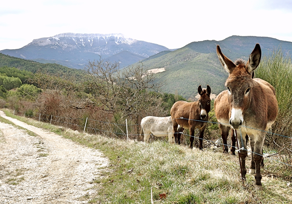
The mule track climbs through lavender groves to reach the wild ridge separating the Roanne and Brette valleys, with a view of the Couspeau and Trois Becs mountains. The return journey is along a shady forest track.

Step by step

1/ From Place du Chenevier (alt. 560m), opposite the bridge, turn right.
Coordinates: (44.5702994, 5.2759135)
Distance from starting point: 1 m
2/ At Place de l'Ancienne-Fontaine (alt. 560m), go straight on to the crossroads. Take the D135 left towards Volvent for 450m. In the Virage du Rose (alt. 595m), take the right-hand path.
Coordinates: (44.5696061, 5.2761)
Distance from starting point: 101 m
3/ At the Ravin de Barbiers fork (alt. 630m), turn left towards Col - Les Vignes. The path first climbs steeply. Pass the ruins. At the sign for Flèches des Vignes, turn right along a pine forest. It leads to the Col - les Vignes house (alt. 790m). Continue along the access road.
Coordinates: (44.5671846, 5.2818886)
Distance from starting point: 691 m
4/ Turn left onto the D271 and reach the Chemin de la Chapelle (alt. 790m). Take this wide track to reach the La Chapelle crossroads (alt. 830m).
Coordinates: (44.5602399, 5.2962556)
Distance from starting point: 3 km
5/ Turn right towards Epingle du trou. Go to the end of the track and continue along the path opposite to reach Epingle du trou (alt. 905m). Take the road on the left.
Coordinates: (44.5687882, 5.2960188)
Distance from starting point: 4 km
6/ At Jarille (alt. 930m), take the left-hand lane. It climbs to Relais de Montanègue (alt. 1003m). Continue straight ahead on the ridge path. At the end, it descends to the left, then veers twice to the right and ends at the Col de Guillens (alt. 802m).
Coordinates: (44.5600789, 5.3073649)
Distance from starting point: 5 km
7/ Cross the D135 and take the track opposite. At Pied-Leytra (alt. 805m), take the left-hand track downhill. After two switchbacks, at the Blail crossroads (alt. 745m), take the left-hand track towards Pierre-Jouve. After the field, it rises into the pine forest.
Coordinates: (44.5764319, 5.3010855)
Distance from starting point: 8 km
8/ Turn right on the D135 for 70 m, then left on the track. It crosses the wooded ridge and then descends to reach Pierre Jouve (alt. 740m).
Coordinates: (44.5768681, 5.2920116)
Distance from starting point: 10 km
9/ Keep right. At La Condamine (alt. 720m), go straight ahead for 250 m, then leave the track for the path on the right. It descends to La Casaque (alt. 690m). Cross the D135 and continue downhill along the road. Pass the fire station, campsite and chapel. End at Place de l'Ancienne-Fontaine. Turn right into Place du Chenevier.
Coordinates: (44.5748963, 5.2874274)
Distance from starting point: 10 km

Practical information

  • Services Pets welcome
  • Amenities Free car park Car park

Additional welcome

Randonnée de difficulté moyenne à faire plutôt le matin, car exposée plein sud. Pour randonner au milieu des lavandes venez plutôt entre mi-juin et fin juillet.

Prices

Free access.

Information updated on 04/05/26 by the Pays Diois Tourist Office